


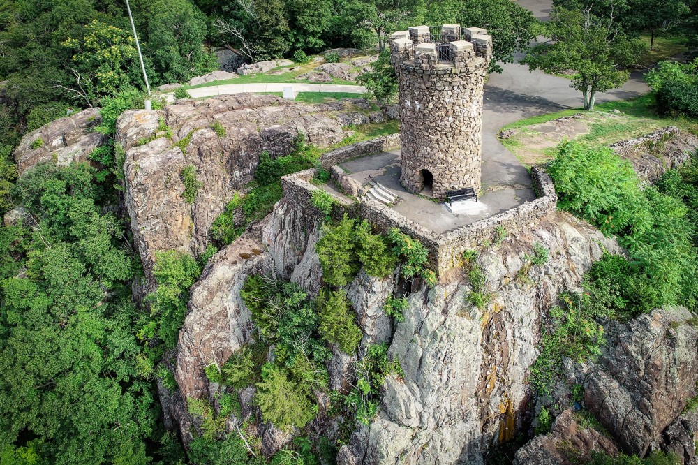
Castle Craig Mapping Project - 3D Modeling, VR/AR Walkthrough, and Point Cloud
August 14th, 2019


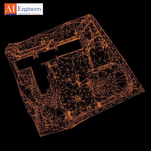
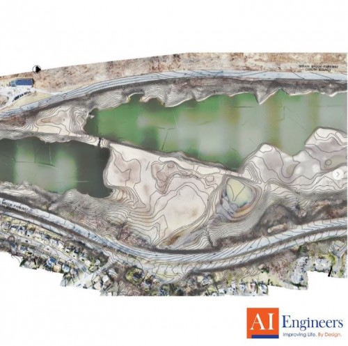
AIE is currently refining a 3D Model as well as a VR/AR Walkthrough of Castle Craig in Meriden, CT. The 1st video is a Pix4D point cloud captured from our DJI Matrice 210 RTK UAS. The 2nd video shows the original point cloud that contributed to the creation of the model, scanned with our Leica BLK360.
Posted in the category AIE Insights.