


Dart Hill Road Bridge UAS & TLS Survey
Vernon, CT
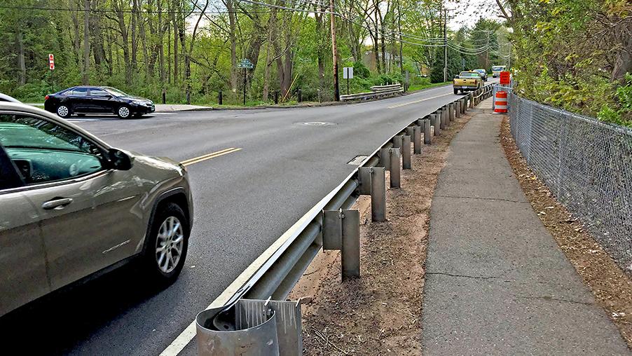
AI Engineers, Inc. (AIE) provided Unmanned Aerial Systems (UAS) services for this reality capture project at the Dart Hill Road Bridge in Vernon, CT.
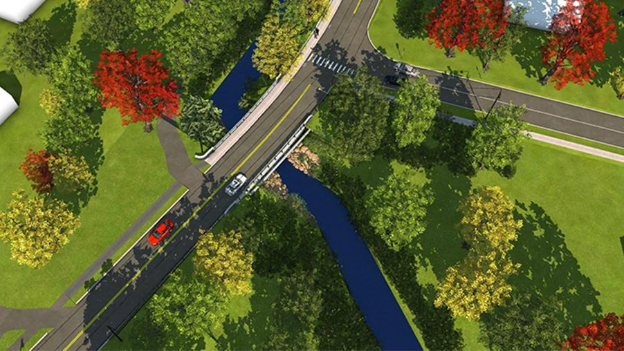
The intent of the operation was to collect data that could be processed into a 3-dimensional (3D) model of the bridge and adjacent intersection. AIE deployed a DJI Phantom 4 Pro UAS equipped with a 20-megapixel, high-resolution photograph and 4K high-definition video camera.
The UAS was preprogrammed to fly a 15-minute autonomous pattern with the intent to collect hundreds of overlapped geotagged, high-resolution photographs. The necessary deliverables to construct the 3D model were generated through various software processing.
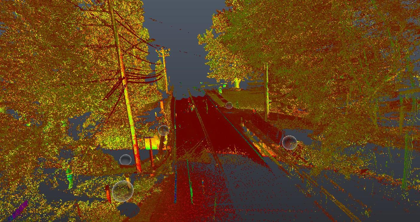
In addition, AIE used terrestrial laser scanning (TLS) as part of this project to collect additional data. This point cloud was merged with the UAS-generated photogrammetric point cloud. The compilation of all the information allowed AIE’s designers to create a complete 3D model of the bridge, the adjacent intersection, and all the surroundings.
Highlights
- Duration: 2018
- Project Scope:
- UAS & TLS data collection
- 15-minute autonomous flights
- 20-megapixel, geotagged, high-resolution photographs & 4K high-definition video
- Combined UAS & TLS point cloud data to create 3D model