


Town of Greenburgh Grassy Sprain Reservoir UAS Mapping
Greenburgh, NY
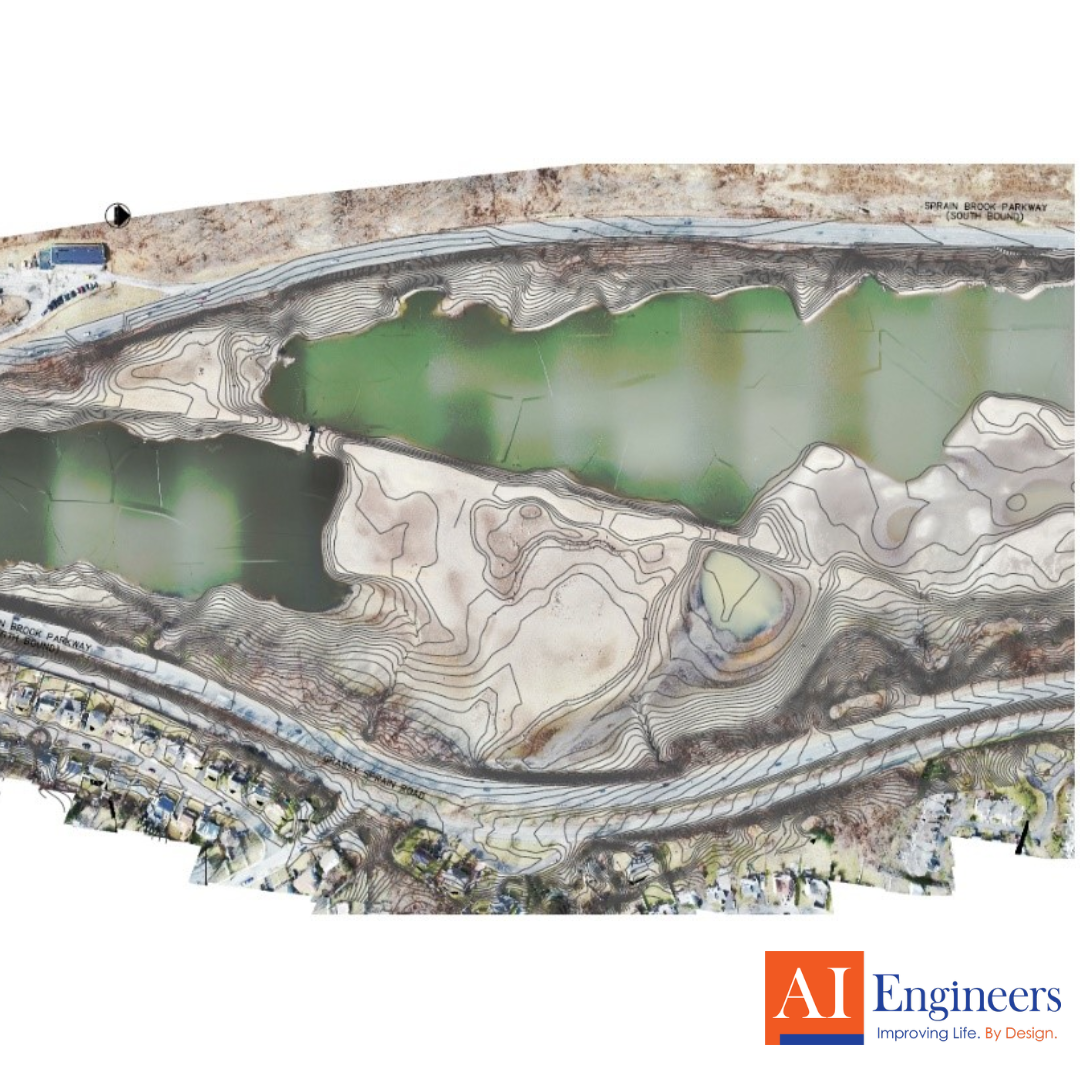
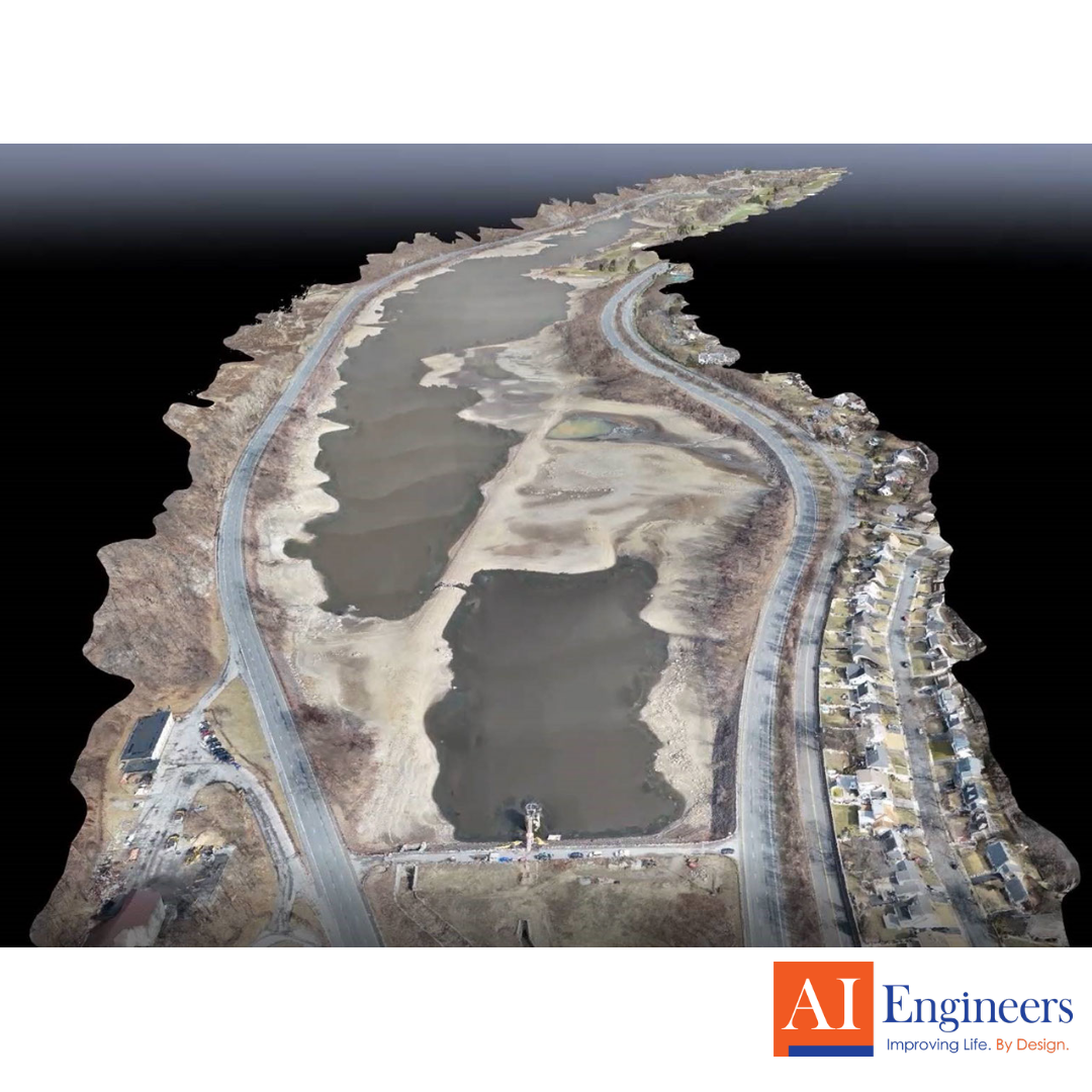
AIE provided Unmanned Aerial Systems (UAS) services for the 3D mapping and topographic survey of the over 175-acre Grassy Sprain Reservoir in Yonkers, NY. The objective was to provide contours of the Reservoir’s 4.3 mile-long shoreline and floor while the water level was drawn down for work on the dam and spillway located at the south end of the site.
A UAS flew for over 100 minutes and captured over 1,000 20-megapixel geotagged high-resolution nadir images of the site and ground control points. The data was processed through photogrammetry software and produced orthomosaics, contours, and point clouds to name a few.
From this information, 2D CAD drawings displaying the site’s contours and orthomosaic were created. In addition, a 3D textured mesh was generated and hosted live on a secure website where the client could navigate the model without 3rd party software. Coordination with local and federal authorities was necessary for this flight.
Highlights
- Duration: 2020
- Project Scope:
- 3D mapping of drawn down, over 175-acre reservoir & dam
- Extracted contours from data for topographic survey
- 2D CAD drawings provided as final deliverable
- Over 1,000 high-resolution nadir images processed through photogrammetry
- Live 3D model of site hosted on secure website