


CTDOT On-Call Survey
Statewide, CT

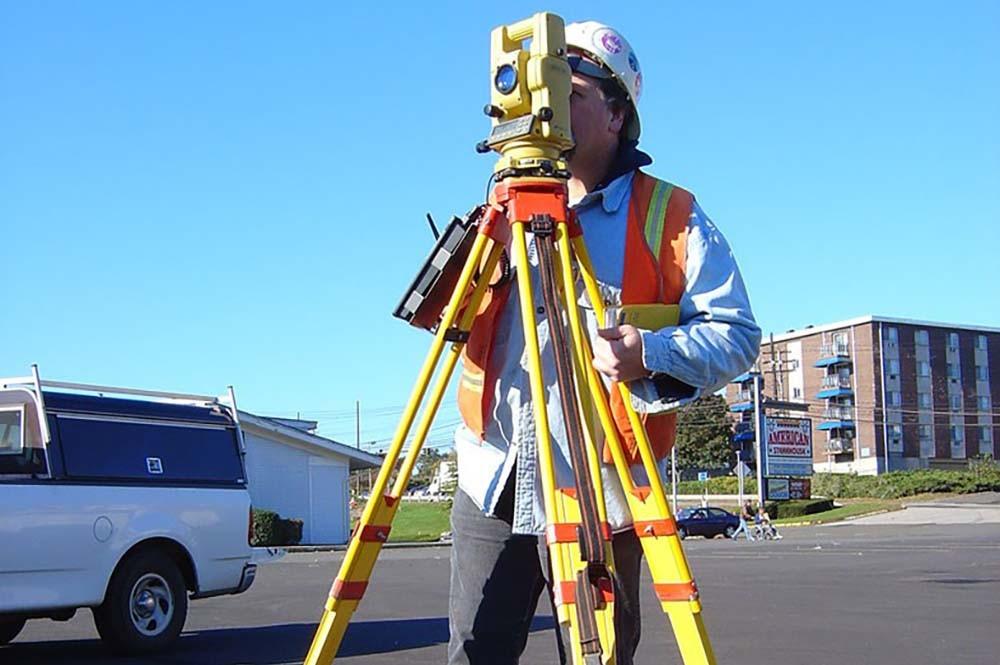
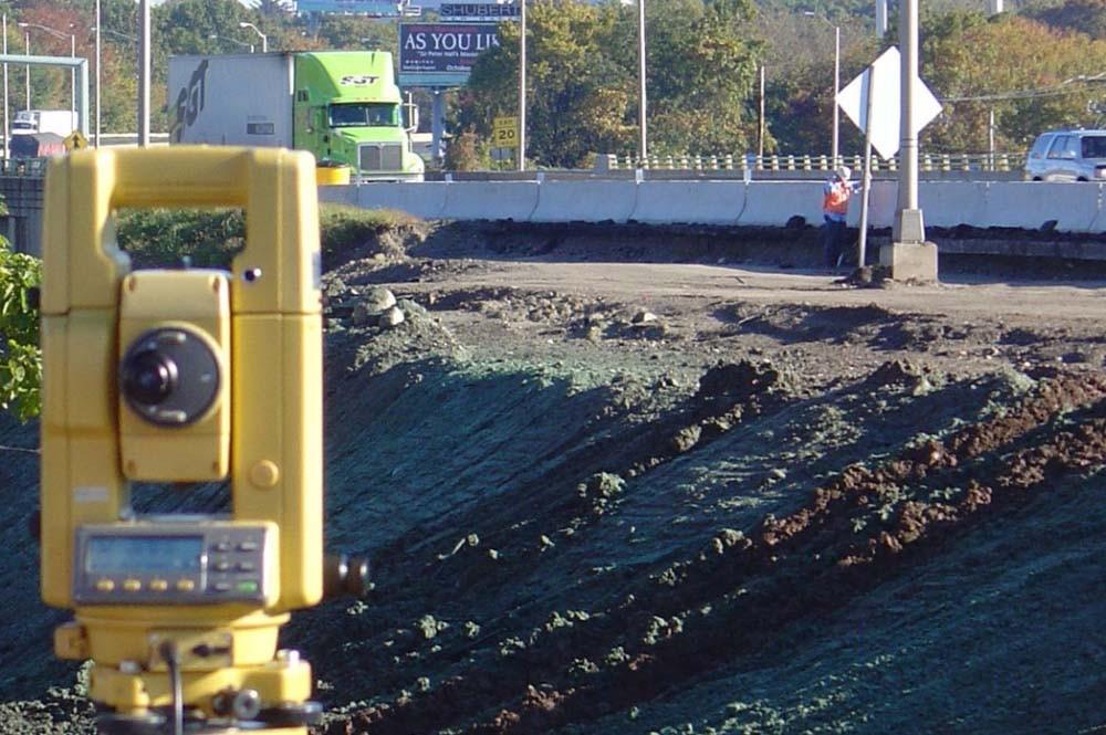
AIE is providing task based surveying services for various projects to CTDOT. In addition to traditional ground survey, the contract requires the utilization of several specialized methods of data collection like terrestrial LiDAR scanning, bathymetric surveying, and subsurface imaging using ground penetrating radar. Wetland delineation services are also to be provided for the duration of the contract. With the exception of the specialized services, the majority of the assignments will involve traditional ground survey methods for topographic, boundary, and site inventory surveys, and other tasks traditionally performed by the CTDOT’s District Surveyors. Assignments under the contract include various data collection surveys for highway and bridge construction projects, including the survey and location of topography, roadway and bridge features, utilities, site, and hydrographic information. We also provide stream and watercourse survey sectioning for projects involving bridge construction, for use in determination of low chord elevations and scour potential. Control for the surveys is established per local monumentation and the use of RTK GPS. AIE reduces and processes the collected data and maps the data in MicroStation format, per CTDOT requirements. AIE is a dual platform company, and can also produce any of the survey work in AutoCAD C3D format.
Highlights
- Duration: 2014 - Present
- Project Scope:
- Topography
- Utility locations
- Overhead wire elevations & mapping
- Site feature locations
- Horizontal & vertical survey controls
- Terrestrial LiDAR Scanning
- Bathymetric Surveying