


CTDOT I-84 Topographic Survey
Waterbury, CT
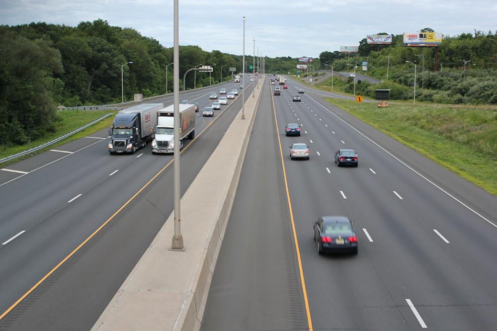
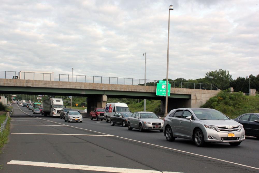
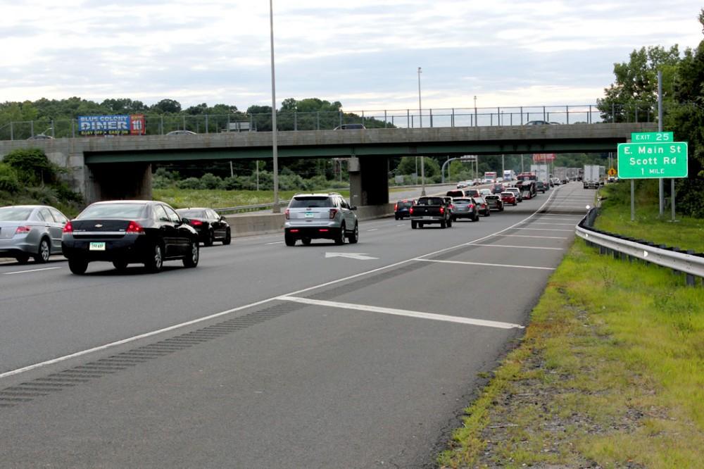
AIE provided survey and construction inspection including utility inspection services for the reconstruction and upgrade of 2.7 miles of I-84 eastbound and westbound between Washington Avenue and Pierpont Road in Waterbury, CT. The project involved widening and addition of a third travel lane and full width shoulders in each direction, as well as safety improvements to this segment.
The project included constructing/replacing eight (8) highway bridges, one (1) pedestrian crossing over the Mad River, seven (7) culverts, and 20 retaining walls; replacing and upgrading traffic signals, new highway illumination, new signs, and pavement markings; and replacing or relocating sanitary sewer, potable water, and other public utilities. Five (5) existing culverts will also be rehabilitated and constructed with corrugated metal pipe (CMP).
AIE’s survey assignment during the design phase included the establishment of horizontal and vertical control to supplement the control established by CTDOT surveyors. It also included utility research; coordination with property owners; review of aerial photographic mapping; providing additional topographic survey to field edit the aerial maps; performing bridge surveys; wetland surveys, hydraulic section and drainage surveys for streams and rivers, locating utility test pits and soil borings, as well as 3D surface modeling. AIE compiled the entire aerial and ground survey into one cohesive file/document for use in design.
Approximately 50 right-of-way maps were also prepared for easements and acquisitions along the affected areas, where the alignment of the highway was shifted. Deed research was performed for all properties affected by the highway construction.
During construction phase, AIE’s surveying duties involved checking contractor layout, survey areas and stockpiles for use in quantity calculations used for payment, and several other support services.
Highlights
- Duration: 2015-2019 (CEI Survey); 1999-2015 (Design Survey)
- Project Scope:
- Topographic survey
- Horizontal & vertical controls
- Deeds research
- Test pit location
- 3D surface modeling
- ROW maps